
Click on map for full resolution
Bluegrass Island and it’s back channel provide for some excellent fishing opportunities. Lots of depth and structure. See Buttonwood 2 map for more on the Bluegrass part of the Island that is on the main river channel.
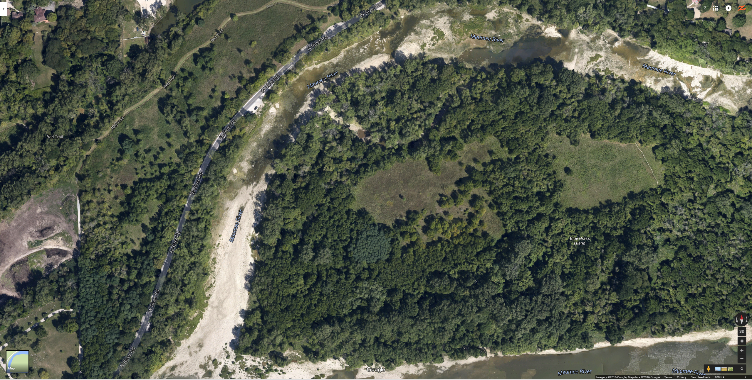
This map shows the downstream portion of the back channel of Bluegrass Island. As you can see, it’s very shallow. And when the water level rises, you will get rapids due to the volume of water that has to pass over the rock shelf.
At the southern most tip, you can see the area where everyone crosses over to the Island. It’s a flat rock shelf formation and is easy to walk across. However, it’s closed if the water level is 582 feet above sea level or higher.
The back channel is very shallow, but does have some deeper pockets and a deeper channel in some areas. Walleye will hide in there and rest in there waiting to go back out to
more flow and more current to hunt for food. But quite honestly, we haven’t had much success fishing for walleye in the back channel. Walleye seem to prefer the main river
bed for feeding, spawning, and resting.
Use this map when you head out there to see where the holes and deep channel is.
Further upstream in the back channel is all private property, you can’t access it from people’s homes. You will need to start out in this back channel area of Sidecut park and
walk along the shoreline or use a little boat or kayak.