
Click on map for full resolution
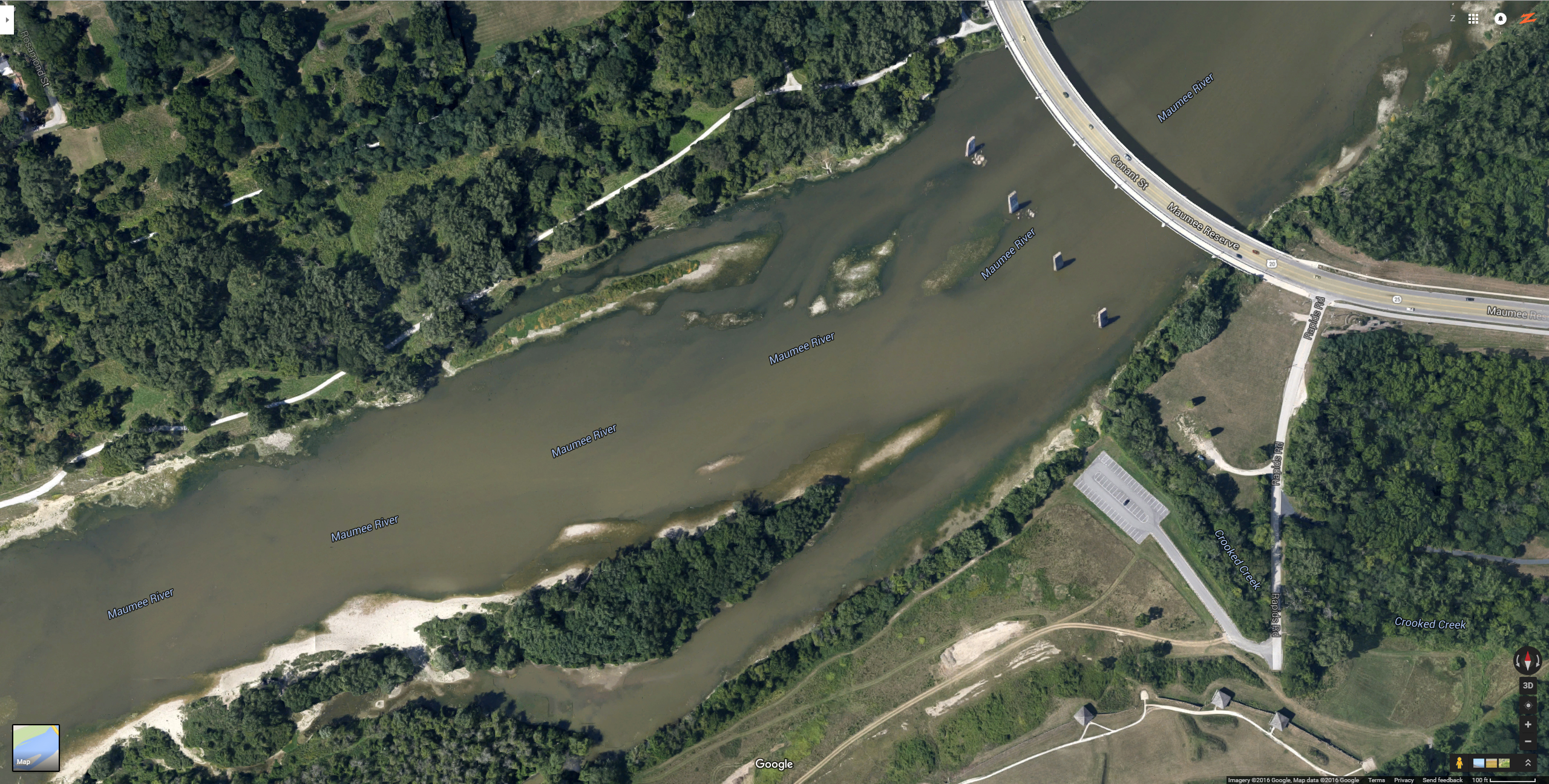
Here you can see further downstream of these two very productive areas. This map shows more of the Towpath and Fort Meigs area.
You can see the old bridge pillars still standing, which provide excellent structure to fish around. The current around all bridge pillars is
very fast. You don’t want your rig to get caught up in it, you might not get it back.
On both sides of the river there are two land structures that jut out and form a second deep channel closer to shore. You can fish in these deeper channels that are close to shore and very accessible. When the water level is higher, you will not be able to distinguish these channels very easily, so be careful. You won’t be able to see the drop-offs as easily. But you will see the tree tops, so you will know you are in the right area. Take your phone out and look at our maps to know where you are.
When walleye are spawning, they like to take breaks and get out of the current to rest. These two land structures and the channels provide excellent hiding spots for exhausted walleye. And you can fish them, you just might need a small boat to get in there. It’s a little harder from shore, but you can access them from shore too.
Just before the bridge pillars you can see some shallower shelves of land, almost like little islands. When the water level is higher, these will look like rapids. Don’t cast into them, there are a lot of trees and brush, and your line will get hung up. Cast along the edges or downstream from them.
This area of the river is very wide and boats can really get you into the deepest and furthest points.