
Click on map for full resolution
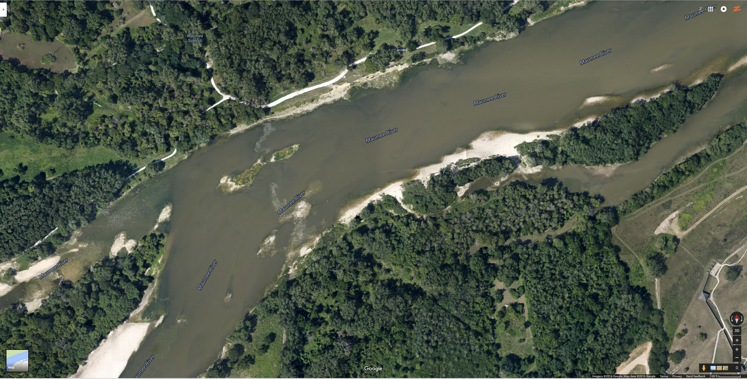
Almost the entire area on the north side of the river from Bluegrass down to Whiet Street could be called Towpath. That includes the Ford Street area and other parts of Sidecut that lead all the way down to White Street and the Audobon Island.
Across the river, on the south side, you have the ending of the Buttonwood area that ultimately joins the Fort Meigs area. Fort Meigs is accessible off the Maumee Perrysburg
Bridge (Conant Street heading south to Perrysburg).
These areas offer pretty good fishing at the break of dawn. Far more walleye are caught here than in the back channel of Bluegrass Island.
A lot of Towpath is shoreline fishable. Most people wade in a few feet mainly to avoid the shoreline brush when they are reeling it back in or when casting. There are very steep dropoffs, so be very careful. You can see a little bit of a rock ridge, then a deep drop-off into the main deep channel.
Waders don’t have to go very far into the river from either side to access the deep channels.
Anglers have caught a lot of fish out here.